
Maps: The Jurassic Coast
This was part of an ongoing project on fossil hunting and Mary Anning'.
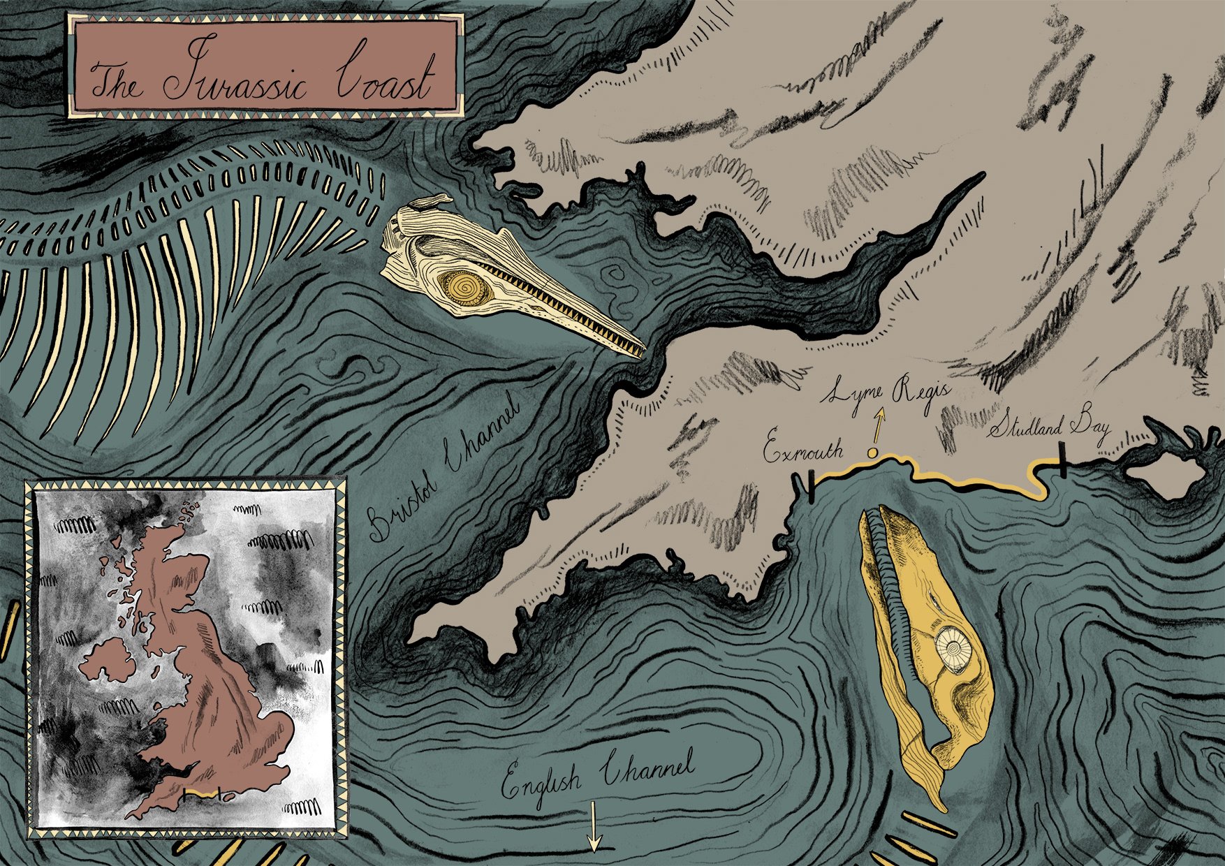
The Jurassic Coast stretches from Exmouth to Studland Bay on the southern coast of England.
Lyme Regis is where fossil hunter Many Anning (1799-1847) grew up, and made some of her most famous finds. These finds included an Ichthyosaur skeleton (top left) and later on a Plesiosaur skeleton (bottom right).
I became very interested in maps during this project. I looked at a lot of vintage maps and was inspired by the lovely & colourful Medieval Portolan charts, and the little sea monsters that were added in similar style maps.
How Do Fossils Form?
I created an educational booklet to go alongside the Jurassic Coast map. This small booklet contains a simple explanation of how fossils are made, as well as a glossary of key words.


